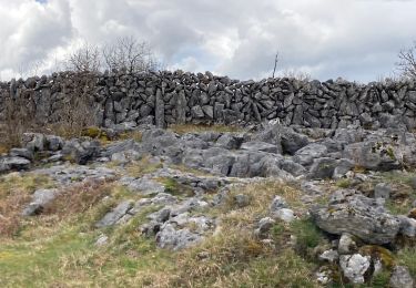
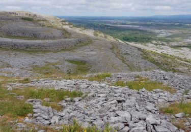
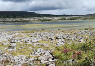
Excursión Senderismo West Clare Municipal District - MullaghMore - Photo
© OpenStreetMap contributors
Longitud
Longitud
8,7 km
Altitud máxima
Altitud máxima
196 m
Desnivel positivo
Desnivel positivo
274 m
Km-Effort
Km-Effort  
12,3 km
Altitud mínima
Altitud mínima
30 m
Desnivel negativo
Desnivel negativo
271 m
Boucle
Boucle
No
Fecha de creación :
2014-12-10 00:00:00.0
Última modificación :
2014-12-10 00:00:00.0

(0 Opinión)

Senderismo
Senderismo
--
Dificultad : Medio

Escanee este código QR para abrir la excursión en la aplicación SityTrail

Aplicación GPS de excursión GRATIS

Logo SityTrail SityTrail

IGN / Institutos geográficos

Descargar SityTrail en App Store Descargar SityTrail en Google Play

Logo SityTrail SityTrail World

El mundo es suyo

Descargar SityTrail en App Store Descargar SityTrail en Google Play Descargar SityTrail en Huawei AppGallery

A propósito

Ruta Senderismo de 8,7 km a descubrir en Desconocido, County Clare, West Clare Municipal District. Esta ruta ha sido propuesta por walter.hmcampbell.

Perfil altimétrico

Puntos de interés

Punto de interés West Clare Municipal District - Start - Photo
walter.hmcampbell
WEST CLARE MUNICIPAL DISTRICT 
Punto de interés West Clare Municipal District - Turn - Photo
walter.hmcampbell
WEST CLARE MUNICIPAL DISTRICT 
Punto de interés West Clare Municipal District - TurnSteps - Photo
walter.hmcampbell
WEST CLARE MUNICIPAL DISTRICT 
Punto de interés West Clare Municipal District - Mullagh - Photo
walter.hmcampbell
WEST CLARE MUNICIPAL DISTRICT 
Punto de interés West Clare Municipal District - Slieve Roe - Photo
walter.hmcampbell
WEST CLARE MUNICIPAL DISTRICT 
Punto de interés West Clare Municipal District - Ruins - Photo
walter.hmcampbell
WEST CLARE MUNICIPAL DISTRICT 
Punto de interés West Clare Municipal District - Knockanes - Photo
walter.hmcampbell
WEST CLARE MUNICIPAL DISTRICT 
Punto de interés West Clare Municipal District - OffSlope - Photo
walter.hmcampbell
WEST CLARE MUNICIPAL DISTRICT 
Punto de interés West Clare Municipal District - BluebellWd - Photo
walter.hmcampbell
WEST CLARE MUNICIPAL DISTRICT 
Punto de interés West Clare Municipal District - Tomb - Photo
walter.hmcampbell
WEST CLARE MUNICIPAL DISTRICT 
Punto de interés West Clare Municipal District - Cowslip - Photo
walter.hmcampbell
WEST CLARE MUNICIPAL DISTRICT 

Localización

País:
Ireland
Región :
Desconocido
Departamento/provincia :
County Clare
Municipio :
West Clare Municipal District
Localidad:
Glenroe
Salida:(Dec)
Salida:(UTM)
498596 ; 5871825 (29U) N.

Excursiones cerca

Excursión Senderismo West Clare Municipal District - Burren - the blue and white trains - Photo
Senderismo
Lobin

Senderismo

Medio
West Clare Municipal District, Desconocido, County Clare, Ireland
9,4 km | 12 km-effort
2h 43min
Excursión Senderismo West Clare Municipal District - 190705BurrenNationalPark - Photo
Senderismo
pffrench

Senderismo

Muy fácil
West Clare Municipal District, Desconocido, County Clare, Ireland
13,3 km | 16 km-effort
4h 48min
No
Excursión Senderismo West Clare Municipal District - J-27/06- CARRAN LOOP WALK - 9,5 KM - Photo
Senderismo
GUIDE
jeanmarcMasson

Senderismo

Medio
West Clare Municipal District, Desconocido, County Clare, Ireland
9,6 km | 11,7 km-effort
2h 39min
Excursión Senderismo West Clare Municipal District - LOUGH AVALLA - Photo
Senderismo
GUIDE
jeanmarcMasson

Senderismo

Medio
West Clare Municipal District, Desconocido, County Clare, Ireland
8,2 km | 10,2 km-effort
2h 18min
Excursión Senderismo West Clare Municipal District - Mon parcours - Photo
Senderismo
BureauChris

Senderismo

Medio
(1)
West Clare Municipal District, Desconocido, County Clare, Ireland
7,5 km | 9,8 km-effort
2h 5min
Excursión Coche West Clare Municipal District - 190705BurrenConnemara - Photo
Coche
pffrench

Coche

Muy fácil
West Clare Municipal District, Desconocido, County Clare, Ireland
168 km | 187 km-effort
6h 52min
No


Cerrar
Mis suscripciones